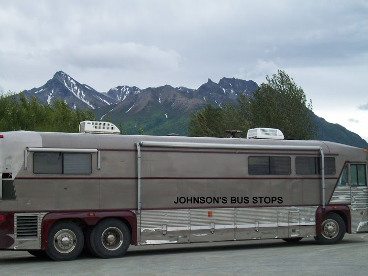
 We kept passing this guy, guess he traveled farther than we did.
This trip involves taking the Dalton Highway sometimes referred to as the North Slope "Haul Road" as it is the road built for truck traffic to the North Slope oil fields around Prudhoe Bay on the Arctic Ocean and later opened to the public. We had considered taking the road all the way to Prudhoe Bay but had decided not to for several reasons one of which was the negative reports that we had heard about the road by various individuals, tourist guidebooks and internet forums. The Milepost for example describes the road as "remote and challenging" and notes the official recommendation that "at least" 2 mounted spare tires be carried by all vehicles, and warns of scarcity of services including fuel, and numerous potential hazards. So we decided to leave the bus in Fairbanks and limit ourselves to driving our Toyota Camry the first 115 miles of the road to the Arctic Circle to at least get a sense of the road, and Arctic terrain.
 This photo shows both the roadway and the pipeline running side by side.
The first part of the trip was uneventful and scenic but marred a bit by smoke from the wildfires in the area. When we reached the Dalton Highway about 85 miles from Fairbanks it was a wide, rough, dusty gravel road the first 20 miles or so. We couldn't move very fast on this section and were thinking that it was looking like we were in for a very long day. But the road improved after that with long paved sections and the gravel ones not as rough. There were places where we were slowed by the maintenance that is perenial on these northern roads but this was not a major problem.
We stopped at the Yukon River crossing which is about halfway up the road to the Arctic Circle. Here as in other areas we had a good view of the Alaska Pipeline as well as the Yukon River and bridge over it. We talked with a ranger there who encouraged us not to stop at the Arctic Circle as she said the Brooks range a little farther up is very scenic and she described the road as in good shape. We talked about concerns about smoke and fires. She reported that there are in fact many forest fires in the area but that the wind direction the day before had kept the area of the road clear, and she did not have current information but had observed that the wind appeared to be shifting again. We decided on a plan of driving 17 miles past the Arctic Circle to Gobblers Knob viewpoint at which point we would be able to look to the north and see whether the Brooks mountains were clear of smoke to make a sightseeing trip further north worth while.

We continued to travel without problems and as you can see we reached the Arctic Circle. The smoke had been increasing as we drove north. Although we expected that it would be too smoky for sightseeing we went ahead and drove to Gobblers Knob. At that point the smoke was too thick to see very far, so we didn't go further.
 Too smokey to see the view
These pretty flowers are called fireweed. We have been told that they are the first vegation to reappear after a wildfire.

Overall we felt that the road was not as bad as we had been led to believe. Of course, we went only about a third of the way. And we did suffer a casualty. We took a rock on the windshield from a passing pickup. But then, windshields are known frequent casualties on any trip to Alaska.
 Even after heading back to Fairbanks, the smoke continued to stay with us.

No comments:
Post a Comment